 Warner Robins
  Wantagh
  Bethel
  Misty Hill Farm
  United States
  Wakonda Beach (R33) Airport
  Wilmington
  Poland
  Miami International Airport
Guadalupe-Nipomo Dunes on the map, Grover Beach, United States
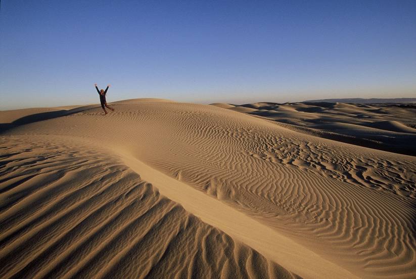
Photo

Where is located Guadalupe-Nipomo Dunes
Guadalupe-Nipomo Dunes — local attraction, which is located at San Luis Obispo County, Santa Barbara County, United States and belongs to the category — -. Average visitor rating for this place — 5.0 (according to 9 ratings, information from open sources and relevant for 2022).
Exact location — Guadalupe-Nipomo Dunes, marked on the map with a red marker.
You can get directions to Guadalupe-Nipomo Dunes on the map from your location.
What else is interesting in Grover Beach? You can see all the sights if you go to the city page.
Coordinates
Guadalupe-Nipomo Dunes, United States coordinates in decimal format: latitude — 35.051964006050085, longitude — -120.6189441249959. When converted to degrees, minutes, seconds Guadalupe-Nipomo Dunes has the following coordinates: 35°3′7.07 north latitude and -120°37′8.2 east longitude.
Nearby cities
The largest cities that are located nearby:
- Bakersfield — 147 km
- Oxnard — 167 km
- Visalia — 179 km
- Simi Valley — 193 km
- Thousand Oaks — 194 km
- Fresno — 195 km
- Salinas — 195 km
- Santa Clarita — 201 km
- Santa Clarita — 206 km
- Lancaster — 229 km
- Universal City — 234 km
- Burbank — 236 km
- Palmdale — 236 km
- Glendale — 242 km
- Inglewood — 244 km
- Los Angeles — 248 km
- Pasadena — 251 km
- Torrance — 253 km
- East Los Angeles — 256 km
Distance to the capital
Distance to the capital (Washington) is about — 3859 km.